Skills Demonstrated
- Arc Pad
- GPS MapEdit
- MicroGIS Editor
- GPS
- Field Validation
- Mobile appplications
- Leica- GeoOffice
- Survey
Field Data Capture and GPS Survey
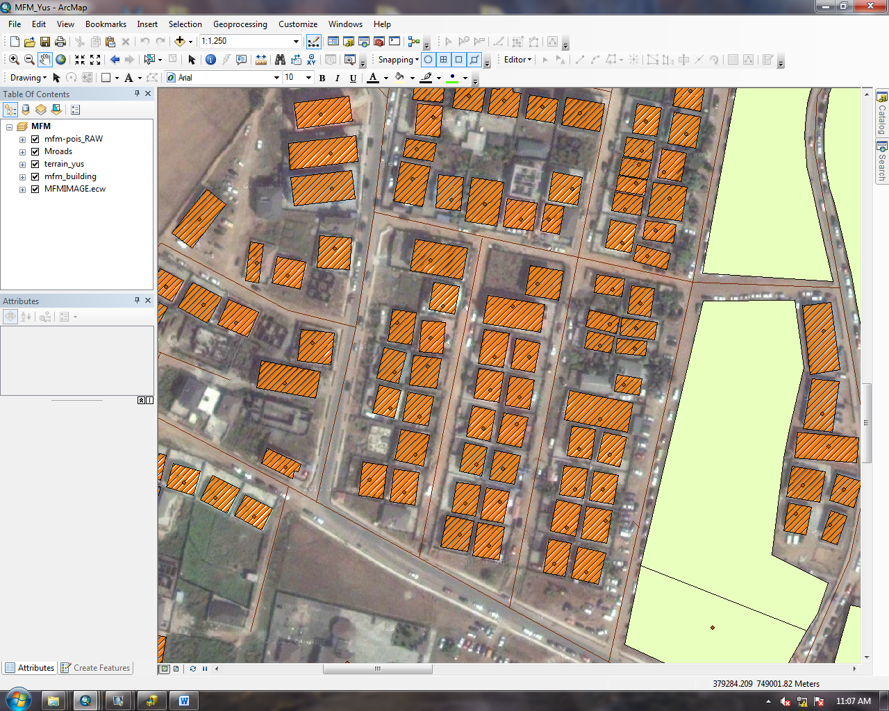
I have carried out several GIS data capture projects. One of which involved using the Trimble Juno for field data acquisition, to enable field validation and ground enumeration. The collected data was updated (joined) to an existing ArcMap file based on corresponding unique IDs via loaded ArcPad Manager tool.
Furthermore, the use of the differential GPS in a perimeter survey project.The data was retrieved for processing using the Leica Geo-office and processed with Microsoft excel and AutoCAD for survey plan creation.
Other software used include the GPS MAPEDIT - used to edit all nodes, connect nodes and lines, delete unnecessary nodes and lines post digitizing and the MICROGIS EDITOR - All editing process in Map Edit can be done on Micro GIS and more like adding extra objects like street signs, speed limits etc.
« Back